STORE HOURS: MON-WED 10am-5pm | THURS-FRI: 10am-6pm | SAT 9am-5pm | SUN Closed
- Women's
- Men's
- Camp & Hike
- Travel
- Run & Fitness
- Paddle
- Climb
- More
- Gift cards
- Blog
- Brands
Your cart is currently empty
Product image slideshow Items
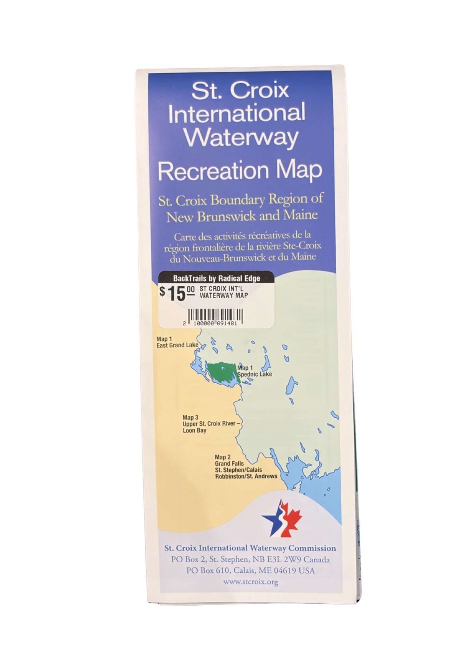
2026 Edition. Now printed on a more durable, waterproof paper.
This recreation map highlights the locations of managed backcountry campsites, boat launches, portages, whitewater, trails, conservation areas and more along the St. Croix International Waterway. The map unfolds to be approximately 18.5" x 27.5"
One side of the map covers the upper Chiputneticook Lakes including North Lake, East Grand, Mud, and Spednic Lake. The other side has two map views covering the upper river corridor from Vanceboro/St. Croix to the St. Croix estuary and beyond! Purchasing this map supports the maintenance and management of our recreational resources along the waterway, and helps ensure continued access for future generations.
Product carousel items


")
